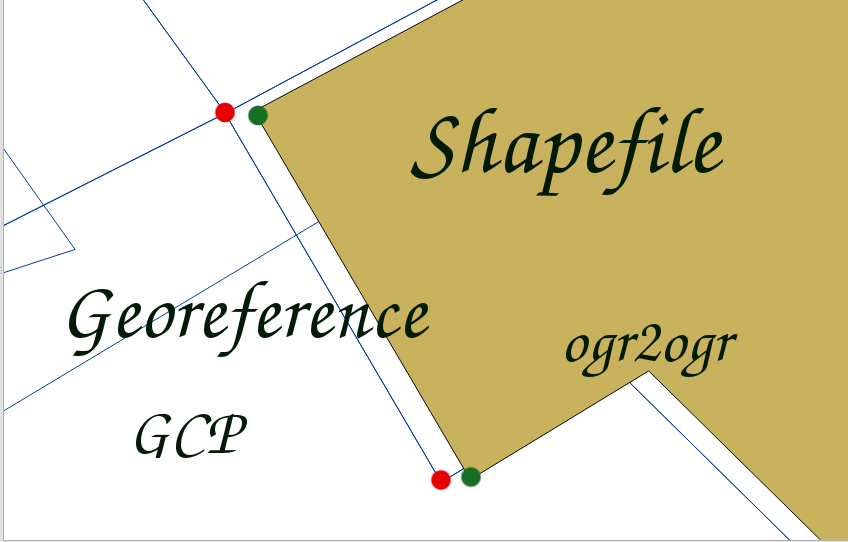
Shapefile’s Georeference
A short process in order to georeference any shapefile by terminal commands, using GDAL library ogr2ogr

A short process in order to georeference any shapefile by terminal commands, using GDAL library ogr2ogr

A QGIS guideline about the viewshed of a point on a digital elevation model and how it is possible to filter out points which doesn’t fall in line of sight (LOS)
How to display arrows on a line vector in QGIS to represent a certain path’s directions.
A map which geographically marks Neapolitan places, CleaMap, where CleaNAP performed cleaning up actions in 2011, when the garbage emergency had its peak in the city.